To figure out which bus stop to wait at, you match three things: the route number, the direction of travel, and where that route’s stop sequence puts you in relation to your destination. Most wrong-stop mistakes come from skipping the direction check, because the same route often serves the same corner twice, once heading each way, and the two poles look identical from the far side of the road.
The whole check takes about two minutes, and most of that is standing still and reading. It matters more than it sounds: on a route that runs every 20 minutes, boarding at the stop for the opposite direction can cost you 40 minutes of walking and waiting before you get back on track.
Quick answer: Find the route number and its destination on the timetable or trip planner, work out whether that service is inbound or outbound, then look at the stop sequence and pick the stop that sits on the correct side of the street. When you arrive, read the sign on the pole, match the route numbers printed on it to the ones you need, and confirm the approaching bus’s route number or destination board before you step on. If the sign shows no route numbers, you are at the wrong pole or an out-of-service stop.
Table of Contents
- What You Need
- Step-by-Step: How to Figure Out Which Bus Stop to Wait At
- Confirm the Bus Route and Destination
- Identify the Correct Direction
- Match the Stop to Your Destination
- Check the Schedule and Next Arrival
- Verify the Physical Stop Before You Wait
- Common Mistakes
- If You Are Already at the Wrong Stop
- Frequently Asked Questions
- Which side of the street should I wait on for the bus?
- What does the number on a bus stop sign mean?
- My app says schedule only. Is the bus still coming?
- How far can I ride if I get on at the wrong stop?
- What do I do if the bus stop has no sign or has been moved?
- Can I track a bus on Google Maps?
- Conclusion
What You Need
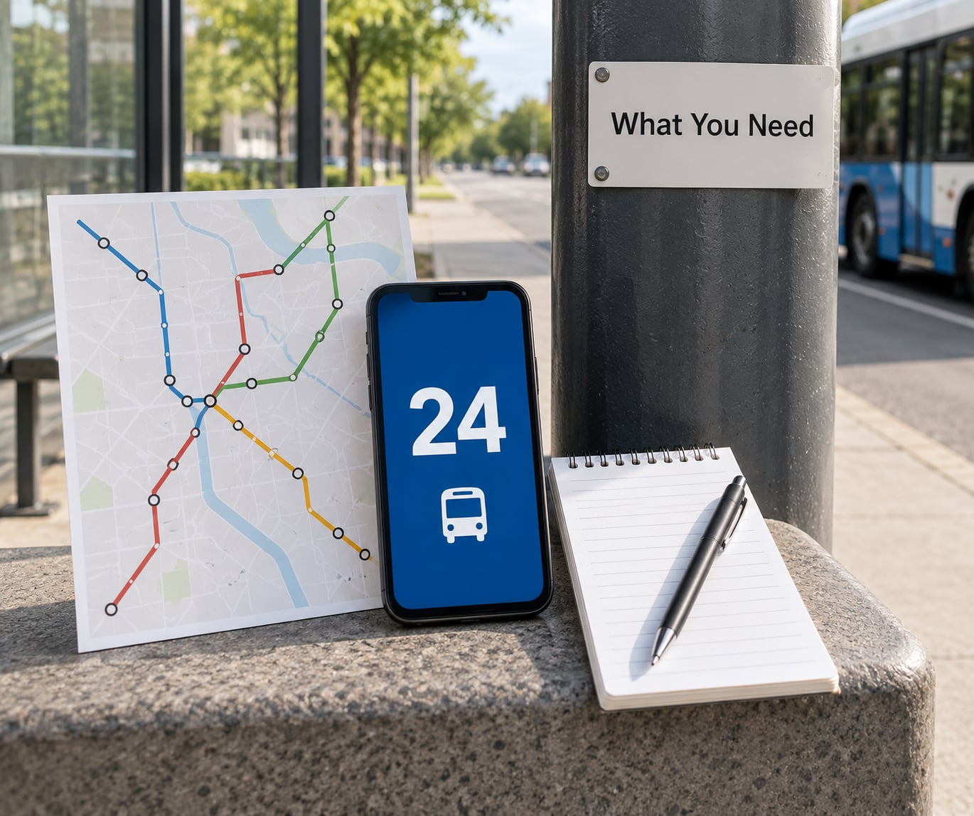
None of this is specialist equipment. You need the route number, the destination you actually want, and roughly ten minutes of slack before the service frequency matters.
A bus stop, strictly speaking, is a designated place marked by a sign, and usually a pole and shelter, where a specific route or set of routes picks up and drops off passengers in a known direction of travel. The sign is what makes it a stop rather than an informal place buses slow down, and reading that sign is the whole job.
Here is what each method is actually good for, so you can pick one instead of juggling four:
- The sign itself is the only source that is never out of date about which routes use the place. Start there.
- The agency’s own trip planner is the most accurate option for planning a new route because it uses the agency’s schedule data, including short-turns and skip-stop patterns.
- A general map app is good for orientation and for live vehicle positions, but it selects the nearest stop by default and that stop is frequently not the one you need.
- The stop ID lookup, by text message or phone line, is the fastest option when you are standing at the pole and something on the sign looks unfamiliar.
- A printed timetable is the fallback when there is no signal, no data plan or no live feed for that route.
- The route number and route name, written down rather than remembered. Route names differ from the destination sign, and mixing them up is a common source of confusion.
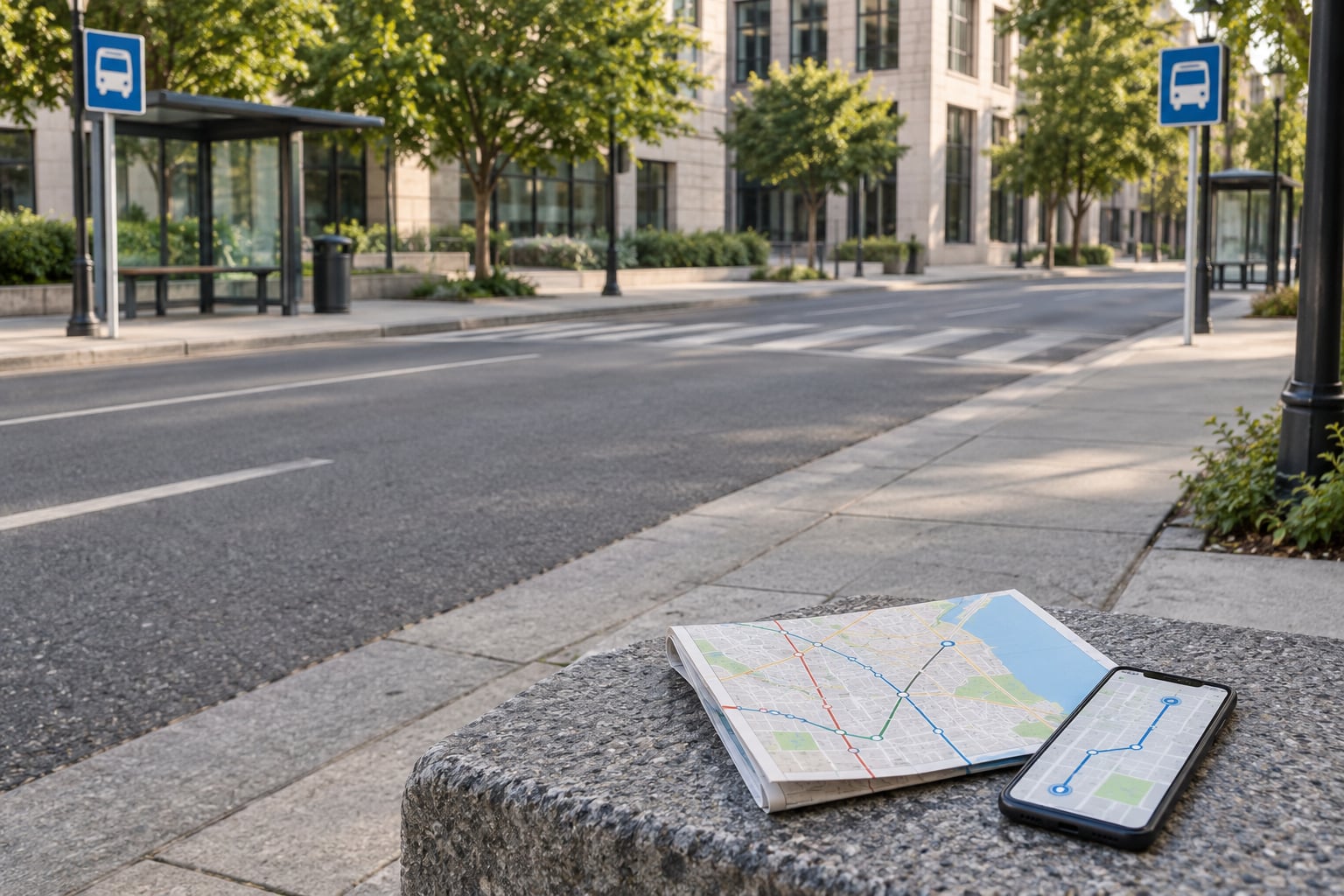
- A map or trip planner showing the stop sequence for that route. An agency trip planner is the most reliable option; a general map app is fine for orientation.
- The route timetable, either the printed card in the shelter or the schedule page on the agency site. This gives you the first and last departure times and the stops served, even when there is no live data.
- Your live location rather than a guessed street name. In a city with gridded streets, two blocks of guesswork puts you on the wrong corner entirely.
- The stop ID, if you can find it. Every sign carries one, and it is the fastest lookup key available, whether you type it into an app, text it to the agency’s number, or read it to the phone line.
Denver’s RTD prints a unique five-digit stop number on every sign in its system, and that pattern repeats widely. Once you know to look for it, the number is usually printed on the pole or on the face of the sign.
Save the details before you travel: a screenshot of the stop page, the timetable and any service alerts. Coverage drops in tunnels, underpasses and at the edge of a network, and a trip that needs live data in exactly that spot tends to be the one that fails.
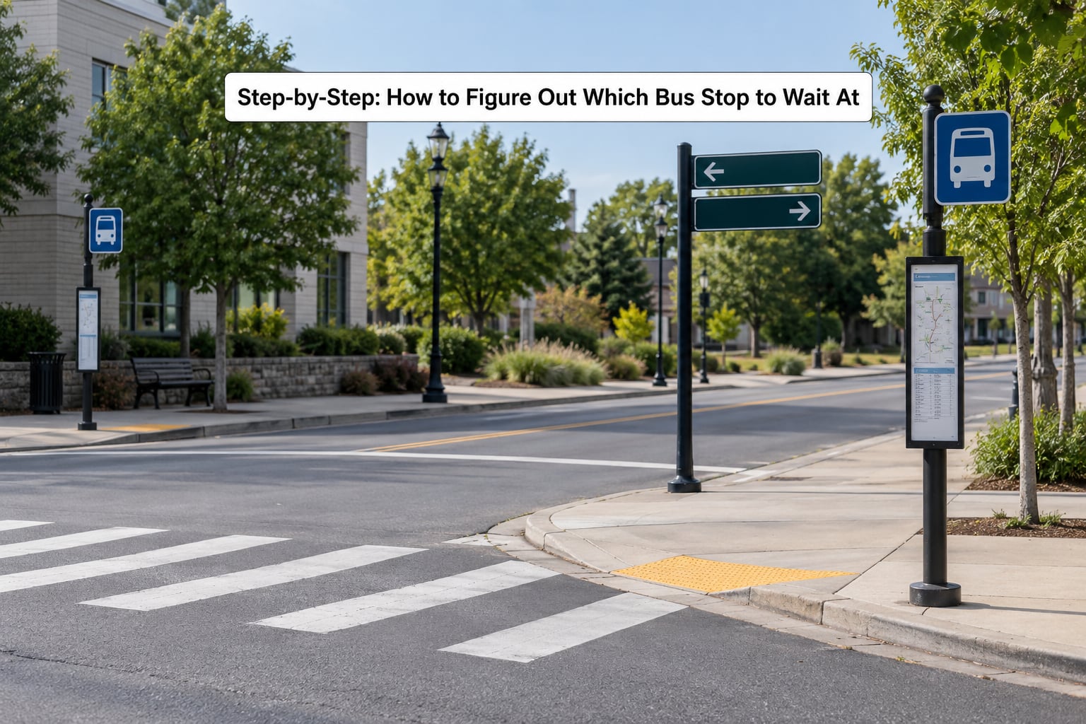
Step-by-Step: How to Figure Out Which Bus Stop to Wait At
Confirm the Bus Route and Destination
Start with the route number and the destination printed beside it. A timetable entry for route 12 might read “12 – University”, while the sign at the stop lists “12” alone, and the bus headboard shows the terminal rather than a street name.
Read the full entry rather than the number. If a route has a short-turn variant that terminates early, or a peak-hour express that skips stops, both may share the base route number and appear on the same sign. The variant is usually shown with a letter suffix or a note in the schedule, and it will not stop where the all-stops service does.
A useful test: can you say the destination out loud and have it match something printed? If the sign lists 12, 66 and 79, you are at a shared multi-route stop and you still need to confirm direction.
Most transit apps answer this step the same way. Enter your destination, pick the line the planner suggests, then open the trip and look at which route number it actually names. Google Maps and similar tools work this way: tap a destination, tap the route, and read the route number and final stop from the line detail view rather than from the pin.
Be careful with numbers that look similar. Agencies reuse numbers across different service types, so a route number on an urban bus can be unrelated to the same number on a coach or an express service in the suburbs. Check that the service type on your itinerary matches the type printed on the sign.
Identify the Correct Direction
Direction is the step riders skip, and it is the one that saves the most time. Inbound usually means toward the city centre or main transit hub, and outbound means away from it, but the exact definition is the agency’s, so read how they label it rather than assuming.
There are three ways to establish direction. The timetable lists stops in running order, so the one you want appears between two named stops in the sequence. A route map draws arrows showing travel direction along the line. The stop sign itself may carry a direction label such as “toward Downtown” or an inbound or outbound marker.
One practical problem worth planning for: signs often face the roadway rather than the sidewalk, so the stop you need may be unreadable from where you are standing. Riders in Providence described stopping cars to let someone cross, only to find the person waiting at a stop whose sign was invisible from their side. If a stop’s sign faces away from you, cross to the other side of the street and read it before you commit.
When one corner serves both directions, the poles are often close enough to look like a pair, which makes them easy to mix up. Look for three specific things and they will separate the two cleanly: the direction label wording, the direction the buses are stopped in, and whether the two signs list different route numbers.
On a two-way road with no central reservation, buses normally use the kerb on their right, so the stop for one direction sits on one side of the street and the stop for the other direction sits on the opposite side. That is a default, not a rule; divided roads, one-way loops and busways break it, which is why the label beats the guesswork.
Watch for terminology that sounds like direction but is not. Inbound and outbound describe travel relative to a hub, not toward your destination, so on a route that leaves and re-enters the centre you can find an outbound stop sitting physically nearer the middle of town.
Match the Stop to Your Destination
Walk the stop sequence backwards from your destination. Find the nearest stop to where you are getting off, then read the two stops before it and the two after. That bracket tells you where your stop should fall in the list, and it gives you the street names or landmarks printed beside it.
Compare those names against what is physically at the corner. A stop labelled “Market & 4th” may be a block from the intersection you are standing at, and stops get renamed or merged as routes are redesigned, so the name on your screen may not match the name on the current sign.
Transfers get the same treatment. Check that both routes serve the named transfer point rather than the point where their lines cross on a map.
A worked example: your timetable shows route 4 running Elm Street, then Kedzie Avenue, then the hospital. You are standing on Kedzie and want the hospital. Your stop is Kedzie Avenue between Elm Street and the hospital, which the stop list places after Elm and before the hospital, and it is the stop heading away from Elm.
Where a route has more than one branch after a junction, the branches often split the stop list into separate sections in the timetable. Find the branch heading that includes your destination, because the other branch’s section will list the same junction stop and then diverge, which is exactly where people misread their position.
Check the Schedule and Next Arrival
Once the stop is right, sort out timing. Real-time arrivals are predictions built from live vehicle positions, and they only exist where the fleet is tracked. Where a vehicle has no feed, most apps fall back to the printed timetable, and several label that fallback clearly. If your app or the shelter display says schedule only, you are looking at a planned departure time, not a vehicle on its way.
Read the frequency as a headway rather than a promise. A timetable showing 9:12 and 9:32 means a 20-minute gap, not that a bus arrives at 9:32.
Check three things before you commit to waiting: the first and last departure of the day, any express or skip-stop pattern on your trip, and whether a service alert or detour is active on that route. Alerts are usually published on the agency site and in the app, and they are rarely printed at the stop itself.
Two pieces of timetable vocabulary cause most of the confusion. A timepoint is a stop where the schedule is pinned to an actual clock time, because drivers are held to it; a stop between timepoints has a time printed but no guarantee attached to it. A headway is the gap between consecutive buses, so a 20-minute headway means you could wait 20 minutes and still see no bus right after you sit down.
Timing matters most where service is thin. On a night route running every 30 or 40 minutes, one wrong-direction stop can turn a short wait into an hour, and the printed timetable may be the only information available. On those routes, confirm the stop before you leave, wait in a lit place, and have the agency phone number to hand.
When the app prediction and the shelter display disagree, trust the display at the stop when the system has live data for that route, since the display is fed by the local vehicle feed. When the display is dark or frozen, the shelter is telling you nothing and the app is your better source.
Verify the Physical Stop Before You Wait
The last check happens with your eyes on the pole in front of you. Confirm the stop ID on the sign, confirm the route numbers listed match the route you need, confirm the direction label, and check whether the stop has a shelter, a real-time display, or a bay letter that assigns it a position.
Element by element, that is what a sign carries and what each part tells you:
- Route numbers listed in the panel, which is the fastest check of whether you are in the right place at all.
- Route names or destinations, which tell you the direction the buses travel even when the label is vague.
- A direction label, often toward a named place or hub, which settles the inbound and outbound question outright.
- The stop ID, the single most useful number on the pole because it unlocks every lookup method the agency offers.
- A schedule card in the shelter, which carries the full timetable and any notes about skip-stop operation or a temporary stop.
- A QR code on some newer signs, which opens that stop’s page directly instead of making you search.
Two further things are worth checking on the ground. Look for a bay letter or zone marker, because at a stop with several bays the arrival board may show you the bay rather than the pole. And look at the shelter itself, since a temporary stop for construction is usually a bare pole with a printed notice rather than a full shelter with a schedule in it.
Before boarding, read the bus itself. The route number and destination board above the windshield, or the side display, tell you what is actually arriving. Where the side display is unclear, riders on r/TriMet note that the first digits of the block number in the small display at the front of the bus often match the route.
This table is the decision in one view. If more than one of the right-hand column is true, you are at the wrong stop.
| What you check | Right stop | Wrong stop |
|---|---|---|
| Route number on the sign | Your route is listed | Your route is not listed at all |
| Direction label | Points toward your destination | Points the other way, or is missing |
| Side of the street | The side the bus travels on for that direction | Opposite side from where you need to be |
| Sign present | Pole or panel with a stop ID | No sign, or a sign facing away from you |
| Live data | Vehicle prediction for that direction | Schedule-only time, or nothing at all |
Common Mistakes
Almost every missed bus comes down to one of a handful of habits. Each of these has a quick fix.
The one worth naming twice is the closest stop. It feels obviously right and it is wrong surprisingly often, because the map app is optimising for where you are standing rather than for where you need to board.
- Taking the nearest stop the app selects. The app picks the closest pin, which is often a stop served only by the opposite direction or only by an express. Fix: tap the stop and read its route list before you walk to it.
- Ignoring direction entirely. Two stops on one block can share a route number and differ only in which way the bus is going. Fix: confirm the direction label before you cross the street.
- Assuming every bus on the route stops there. Short-turns, express runs and route variants skip stops. Fix: read the timetable entry for your specific trip rather than the route in general.
- Treating a schedule-only time as live. It is a planned departure, and one late bus pushes everything behind it. Fix: allow a buffer, and recheck a few minutes before the listed time.
- Reading a timetable in the wrong time zone. Printed cards sometimes cover more than one agency or are printed for a neighbouring city. Fix: check the city and time zone printed at the top of the card.
- Boarding on the assumption that any bus at the stop is yours. Shared stops serve several routes. Fix: read the destination board and route number before stepping on.
- Waiting at a stop that has been moved or removed. Construction detours and service changes are rarely signposted at the pole. Fix: check the agency site for alerts on that route before you leave.
- Waiting in the wrong place for night service. Some stops are skipped entirely in the late evening or overnight. Fix: read the hours line on the timetable for your specific stop, not just the route.
- Assuming a stop is accessible because it has a shelter. A shelter and a raised kerb are separate things, and the kerb is what a wheelchair or stroller needs. Fix: check the stop page for accessibility features before you travel.
Three terms you may meet on rural and on-demand services, where the nearest stop is rarely the right one. A flag stop is a scheduled stop the bus will only serve if someone is waiting or signals, so you must be visible and standing at it. A requested stop is one you have to ask the driver for, usually noted on the schedule with a phone number or an app. Point-to-point service has no fixed stops at all and is booked in advance, which is why it does not appear on any map.
If You Are Already at the Wrong Stop
It happens, and the recovery is usually cheaper than it feels. If you are on the right route but the stop is further along than you are, stay on and get off at the next stop that works, then walk back. If you are on the route but travelling the opposite way, look up the turn-around point before deciding: most routes end their outbound run at a terminal or loop, so staying on through the full cycle often beats walking.
If you are on the wrong route entirely, get off and check the destination before you board the next one, since the same stop can serve a family of routes and you may simply be on the wrong member of it. And if the timetable shows your stop only on a route that no longer runs on weekends, that is the explanation, not your mistake.
Frequently Asked Questions
Which side of the street should I wait on for the bus?
Wait on the side the bus travels on for your direction of travel, which is normally the side nearest your destination when the route runs along your street. Inbound and outbound stops are usually opposite each other with separate signs. Because signs often face the roadway rather than the sidewalk, cross the street or walk a few metres to read the sign before you decide, and check the direction label against the timetable.
What does the number on a bus stop sign mean?
It is the stop identifier, a unique code assigned to that exact place and direction of travel. It is not a route number. Agencies use it to look up the served routes, the timetable and live arrivals, so you can type it into an app, text it to the agency’s short code, or read it aloud to the phone line. In Denver, for example, every sign carries a five-digit number.
My app says schedule only. Is the bus still coming?
Schedule only means no live vehicle position is available for that trip, so the app is showing the printed departure time rather than a real prediction. That happens on routes with older vehicles, low coverage areas or at night. Treat the time as a plan, not a guarantee, allow extra buffer, and check whether the route has any service alert that changes the pattern.
How far can I ride if I get on at the wrong stop?
You can stay on and get off at the next stop that serves you, if that stop belongs to the same route. If you boarded a bus running the opposite way, the route usually turns at a terminal or loop, so waiting through the full cycle is often quicker than walking back. Check the route’s turn-around point on the map, and tell the driver if you are unsure where the route comes back around.
What do I do if the bus stop has no sign or has been moved?
Stop at the corner and check the route map in a trip planner with your live location switched on, rather than guessing from the street name. Construction often relocates stops to a temporary pole at the nearest usable kerb, and the agency’s alerts page will say where. If nothing is signed and the app shows no stop nearby, calling the agency phone line with the nearest intersection usually gets an answer.
Can I track a bus on Google Maps?
Yes, in most cities. Open the transit layer in Maps, search your destination, tap the line, and the route view shows upcoming departures and live vehicle positions where the agency publishes a real-time feed. The catch is that a scheduled time is shown with no live data, so check whether the time is a prediction or a printed departure before you commit to waiting.
Conclusion
Start with the route number and its destination, then decide which direction you need. Match that against the stop sequence to find the stop and the side of the street, and only then check the arrival time. Once you are standing there, read the sign’s route list and direction, then read the bus’s destination board before you board.
Most of this takes two minutes and works in any city, whether or not the route has live tracking. When live data is missing, the printed timetable and the stop ID on the sign are still enough to get on the right bus.