How to get around a city without a car comes down to three modes: walk the first and last mile, take public transit for the distance in between, and hold a taxi or ride-hailing trip in reserve for the stops transit cannot reach. Pick a hotel within a short walk of a station or a main bus corridor, learn the fare system before you leave the hotel, and most city trips stop being a logistics problem at all.
Last updated for October 2026. The details below cover what actually works, what quietly goes wrong, and where car-free travel is the wrong call.
Table of Contents
- How to Get Around a City Without a Car
- Which Car-Free Transport Options Are Available in Most Cities?
- How to Use Public Transit Without a Rental Car
- How do you actually read a transit map?
- What are transit passes, and how do I buy one?
- What are transfers and free transfer windows?
- How do I deal with delays and service alerts?
- When Is Walking the Best Way to Move Around?
- How to Use Bikes and Scooters in a City
- How to Choose Between Taxis, Ride-Hailing, and Public Transit
- How to Plan a Car-Free City Itinerary
- What to Bring for Getting Around Without a Car
- What Can Go Wrong When You Get Around a City Without a Car?
- You missed the connection
- You got the fare wrong
- Your pass expired mid-trip
- Service was disrupted
- The map did not match the street
- The walk was not safe or comfortable
- The bike or scooter was taken, damaged or gone
- The ride price doubled
- Frequently Asked Questions
- What is the easiest way to get around a city without a car?
- Can I use a public transit card or phone for city transportation?
- How do I get around a city with luggage and no rental car?
- Are walking and public transit better than taxis for visitors?
- How can I get around a city late at night without a car?
- What should I do if public transit is confusing or delayed?
- Conclusion: Start With the City’s Transit Map
How to Get Around a City Without a Car
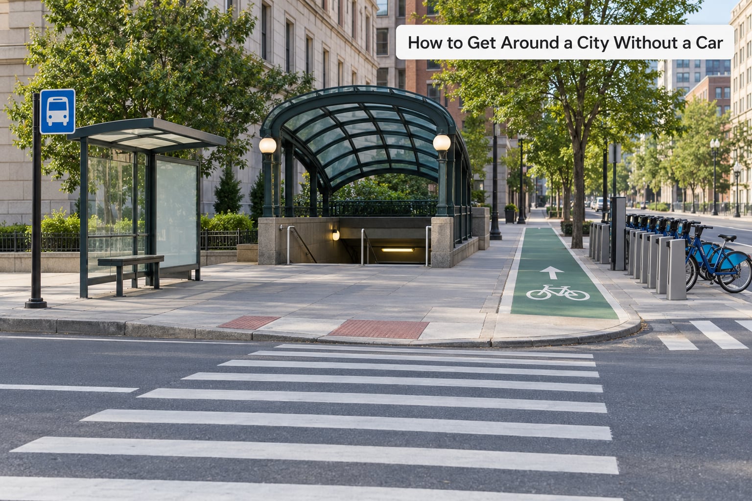
The answer is a combination, not a single substitute. Walk for anything under a mile, take a bus, tram, metro or train for anything farther, and use a taxi or ride-hailing service only for the trips that genuinely have no other option. That mix is what most car-free visitors settle into within a day of arriving.
Four variables decide which mix suits you. Distance sets the mode, budget decides whether a day pass beats single tickets, accessibility decides whether stairs and long walks rule out parts of the network, and weather decides whether a scooter is a sensible idea or a bad one.
Which Car-Free Transport Options Are Available in Most Cities?
Most cities offer at least six of the following ten, though the names change from place to place. A system labelled “metro” in one city might be called the Tube, the U-Bahn or the Muni depending on where you land.
| Mode | Typical cost | Distance it covers well | Best for | The catch |
|---|---|---|---|---|
| Walking | Free | Under 1 mile | Short hops, sightseeing, the last stretch of a transit trip | Heat, hills, and heavy luggage slow it down |
| Bus | Low, often the cheapest option | 1 to 8 miles | Neighbourhoods the rail network misses | Traffic means timings slip in peak hours |
| Metro or subway | Low to moderate | 2 to 10 miles | Cross-city trips with no traffic delays | Station distances and long walks underground |
| Tram or light rail | Low to moderate | 1 to 6 miles | Mid-distance runs along main corridors | Smaller networks, sometimes surface-only |
| Commuter rail | Moderate, often priced by zone | 5 to 30 miles | Suburbs, airports, day trips out of town | Less frequent, and stops running early at night |
| Ferry | Varies widely | 2 to 10 miles across water | Coastal cities and river towns | Seasonal timetables and weather cancellations |
| Bikeshare or e-bike | Low, with membership tiers | 2 to 8 miles | Quiet streets, parks, avoiding crowded carriages | Helmet rules, hills and theft risk |
| E-scooter | Low per ride | 1 to 4 miles | Short hops on flat terrain | Riders get parked wherever they like |
| Taxi | Moderate to high | Door to door | Groups with luggage, late nights, mobility needs | Hail and street-rank rules differ by city |
| Ride-hailing | Moderate, with surge spikes | Door to door | Late nights, suburban destinations, a group split up | Costs add up fast if used as a default |
How to Use Public Transit Without a Rental Car
How do you actually read a transit map?
Ignore the colour coding at first. Find the stations and stops nearest where you are staying and nearest where you want to end up, then trace a line that connects them or passes through a station where two lines cross. Route numbers matter more than line colours, and every map has a legend worth two minutes of reading.
What are transit passes, and how do I buy one?
A single ticket covers one journey. A day pass covers everything you ride in a fixed window. Most systems also cap what you can spend in a day or a week, so the pass becomes a safety net rather than a decision. Buy the pass at a machine, an app, or a staffed office on arrival, and screenshot the fare rules because that screen usually disappears by the time you need it.
What are transfers and free transfer windows?
Most networks let you change buses or trains within a time window, often 45 or 60 minutes, without paying again. Some require you to tap or validate on the way out. Getting this wrong is the single most common fare penalty, so treat a transfer as a new journey unless the signage says otherwise.
People on city forums complain constantly that no single app works everywhere, which is true. The transit operator’s own app is the most accurate source for that city, and a general journey planner is the fastest for comparing two routes.
How do I deal with delays and service alerts?
Check the service status the night before and again each morning. Real-time arrival data is better than printed timetables, but it is not always reliable, so leave a buffer on anything with a hard deadline. If a line is down, ask staff at the platform or check the operator’s alert page rather than trusting a third-party listing.
When Is Walking the Best Way to Move Around?
Walking is the default for anything under a mile, and in a compact city that covers an enormous share of your day. A rough rule is about three miles per hour on flat ground, less in a heatwave or with a heavy bag.
Plan for crossings rather than raw distance. A route that avoids an eight-lane road can be twice as long and still faster, because traffic lights eat the savings. Hills matter too: a short uphill stretch costs far more than a flat mile of the same length.
The classic mix is to walk to the nearest station, ride transit, then walk the last stretch. That first and last mile is where most car-free plans succeed or fall apart, so choose a hotel within ten minutes of a stop and most of the friction disappears.
How to Use Bikes and Scooters in a City
Bikeshare is the cheapest way to test whether you actually like cycling in a city, and riders in places like Denver recommend it precisely because you can try it without owning or transporting anything. Sign up in the app, unlock, and the fee unlocks per minute or per trip depending on the system.
Check the bike before you go. Look at the tyres, spin both wheels, test the brakes and lights, and adjust the seat. E-bikes cost more but flatten hills, which is often the difference between a good day and a brutal one.
Before you ride, find out what the local rules are. Some cities cap the speed of e-bikes, some require lights above a certain age or time, and some ban riding on footways entirely. Riders who skip this end up with fines or impounded vehicles.
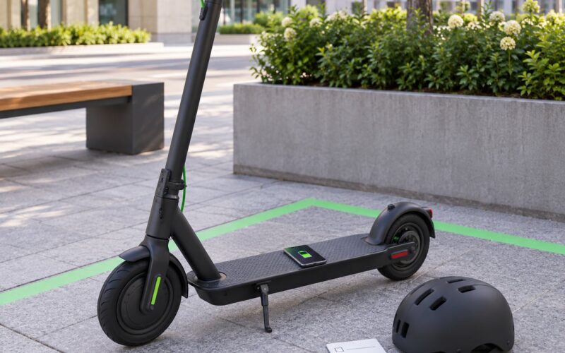
Scooters are quicker than they look for a three-mile hop, but they are restricted to low-speed riders, so they suit flat short trips rather than a long day out. Park them at a marked bay or a rack, never across a pavement, because a badly parked scooter will get one blocked from your payment app in most cities.
How to Choose Between Taxis, Ride-Hailing, and Public Transit
Use a taxi or ride-hailing service when time matters more than money, when you have a lot of luggage, when the party includes someone who cannot manage stairs or a long walk, or when transit has already stopped for the night. Otherwise transit wins on almost every measure.
The failure mode is turning a ride into a habit. Travellers who default to ride-hailing report on travel forums that the cost adds up faster than the rental car they were trying to avoid. Keep it to the one or two trips a day that genuinely need it.
A few things to check first. Street-hail taxis are often cheaper than booking through an app, and many cities have a rank or a call number for them. Prices can surge when demand spikes, so waiting fifteen minutes outside a stadium or a station at rush hour can halve the fare. Share rides help with cost but are slower with luggage.
How to Plan a Car-Free City Itinerary
Group your stops by neighbourhood rather than by importance. Three things in one district takes an hour on foot; the same three scattered across a city can cost you two extra hours of transfers.
Then work backwards from fixed commitments. If a museum has a timed entry at two, the schedule before it needs a buffer of twenty to thirty minutes, because a delayed bus eats into it quietly.
A simple daily template works better than a packed list. Aim for two anchor stops, one neighbourhood to wander, and a deliberate gap in the afternoon. Most itineraries break because they treat every hour as available, not because the transport was slow.
- 08:00 to 09:00 — breakfast near the hotel and a check of the day’s service alerts before you set out.
- 09:30 to 12:00 — the first anchor stop. Get there at opening, when the streets are quietest and the fare is cheapest if you can walk.
- 12:00 to 13:00 — lunch in the same district, then one unplanned wander before moving on.
- 13:00 to 16:00 — the second anchor stop, reached by one direct line if at all possible.
- 16:00 to 18:00 — a rest break. A long coffee stop, a museum bench, or a park. This is where you stop the day from running away from you.
- 18:00 onward — dinner close to where you are, then one ride-hailing trip home if the service has thinned out.
Count your transfers before you commit to a day. Two or more on a single outing is where car-free travel starts to feel slow, and a day with one transfer and four walks almost always beats a day with four transfers and one ride.
What to Bring for Getting Around Without a Car
- A transit card or a contactless payment method. Physical cards suit anyone without a phone or data plan, and many systems offer a visitor card specifically for short stays.
- The transit app for the city you are in, downloaded before you land so it works without data.
- Offline maps. A screenshot of your route for the day survives a dead battery far better than a live app.
- A charged power bank. A dead phone on an unfamiliar street is the most common real problem, not a missed bus.
- Comfortable shoes and a refillable water bottle. This is a walking day, whatever else it becomes.
- Weather protection, including something for rain, since waiting for a bus in the rain is the part nobody plans for.
- Accessibility details if anyone in the party needs them: which lines are step-free, whether lifts are working that day, and how to ask for help at a platform.
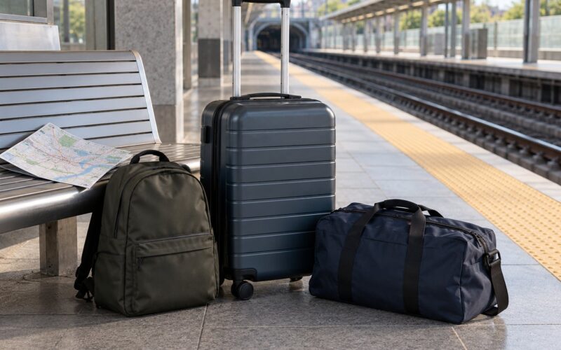
With luggage, plan for one transfer maximum. Big bags plus stairs plus a packed carriage is the combination that ends trips, so pick a hotel with a lift and within a short walk of the platform rather than a cheaper room further out.
What Can Go Wrong When You Get Around a City Without a Car?
You missed the connection
Every line has a long gap at some point in the day, usually late evening. When a route planner shows a five-minute transfer, add ten. If it is the last service of the night, plan a fallback rather than trusting it.
You got the fare wrong
You boarded without tapping, bought a single ticket when the journey needed a pass, or transferred outside the free window. Staff can usually correct a minor tap error; an unpaid fare is the one problem that can turn into a fine or an argument.
Your pass expired mid-trip
Daily and weekly passes are valid for fixed windows, not a rolling number of hours. A screenshot of the expiry time solves this in seconds.
Service was disrupted
Engineering works, weather and events close lines with little notice. The operator’s own alert page is more reliable than a general map app, and every operator publishes a replacement bus or a station closure list.
The map did not match the street
Old maps and renamed stations cause most of the confusion. Use the version on your phone or the one printed at the station, and confirm the direction on the platform display before boarding.
The walk was not safe or comfortable
Some routes are well lit and busy, others are not, and a shortcut through a park closes after dark. Walk the lit route even when the map says it is longer, and check ahead where you will actually be walking.
The bike or scooter was taken, damaged or gone
Bikeshare bicycles are reported damaged constantly, which is normal and easy to handle by swapping to another at the same dock. A locked personal bike or scooter is a different matter: record it, report it, and keep the rental company’s contact details offline.
The ride price doubled
Surge pricing triggers on bad weather, big events and rush hour. If the app shows a surge multiplier, wait if you have time, walk if the trip is short, or take a taxi rank instead.
Frequently Asked Questions
What is the easiest way to get around a city without a car?
The easiest way is a mix: walk the first and last mile, take a bus, metro or tram for the middle, and keep ride-hailing for the one or two stops no service reaches. Stay within ten minutes of a station, buy a day pass on arrival, and plan each day’s route in the transit app the night before. Visitors on travel forums report that this combination covers a full city stay without a rental car.
Can I use a public transit card or phone for city transportation?
Yes, most cities accept both. A physical transit card or contactless bank card is the safest option because it works without data or a charged battery, and many systems sell a visitor card valid for a fixed number of days. Phones and watches work too, through the operator’s app or the transit card’s own wallet. Tap in and tap out on systems that require it.
How do I get around a city with luggage and no rental car?
Keep transfers to one if you can, book a room with a lift, and choose a hotel within a short walk of a main platform instead of a cheaper one further out. Use the official transit app to check whether lifts are working before a trip where stairs are unavoidable. For groups with several large bags, a taxi is often the cheapest option, since a large vehicle costs less than two rideshares.
Are walking and public transit better than taxis for visitors?
For most days and most distances, yes. Walking and transit cost little, run past any traffic jam and take you through neighbourhoods a car cannot reach comfortably. Taxis and ride-hailing make more sense when you are carrying luggage, travelling with small children, need to arrive at a fixed time, or are heading somewhere transit does not serve after dark. The mistake is using them as the default rather than the fallback.
How can I get around a city late at night without a car?
Check the last departure times before you go out, because bus and tram services usually finish much earlier than the metro and rail. Many night services run less often and serve a smaller area, so plan the walk back with the same care as the trip out. If nothing is running, have a taxi number or a ride-hailing account ready, and avoid waiting alone at an unlit stop.
What should I do if public transit is confusing or delayed?
Start with the operator’s own app and service alerts, which are more accurate than general journey planners for that city. Ask staff at the platform when in doubt, and switch to a second app rather than waiting for a digital display that never updates. If a line is disrupted, the operator usually publishes replacement services. Whatever you do, screenshot your route before leaving, so a dead battery is not the end of the day.
Conclusion: Start With the City’s Transit Map
Before you leave for the airport, open the transit operator’s official map and service alerts for the city you are going to. Check which lines serve the area where you will stay, what a single ticket and a day pass cost, and how late the last service runs.
Then commit to three modes for the whole trip: walking for anything short, transit for the distance, and ride-hailing for the trips that genuinely need it. Start with one short route on day one, keep a screenshot of it in case your phone dies, and expand from there.
That is how to get around a city without a car: not one clever substitute for driving, but a system that takes about a day to learn and then runs on its own.