GPS works without cell service. Your phone’s satellite receiver never needed a cell tower, so the blue dot keeps moving in a dead zone. What does need preparation is the map itself: download the area before you leave, and the same app keeps giving you turn-by-turn directions with zero bars. Most people who get stranded out there simply never downloaded anything.
That is the whole trick, and it takes about ten minutes on home Wi-Fi. The rest of this guide is the detail that matters on mountain roads, backcountry trails and remote highways: where to tap on your phone, what to save before you go, how to test that it works, and what to do when the map runs out.
Everything here applies to current versions of iOS and Android. Menus move around between releases, so if you cannot find a step, search the app’s own settings for offline or downloaded maps.
Last updated: October 2026
Table of Contents
- What You Need
- Step-by-Step: How to Navigate Without Cell Service
- Set Up Offline Maps Before You Travel
- Download Routes and Save Key Places
- Test the Offline Route in Airplane Mode
- Use GPS and Landmarks When the Signal Disappears
- Carry a Paper and Power Backup
- Common Mistakes
- Frequently Asked Questions
- Can I use GPS without cell service?
- Do offline maps work without mobile data?
- Will my phone show my location if there is no signal?
- What is the best backup if offline navigation fails?
- How should I handle a wrong turn when I cannot search for a new route?
What You Need
You need fewer things than most people expect. A phone with the map already stored on it, a way to keep it powered, and one backup that does not run on electricity.
- A fully charged phone with location services switched on for the navigation app, and screen brightness low enough to see without blinding yourself at night.
- Offline maps for every region you will drive, hike or sail through — not just the destination city. The gap between two towns is usually where the signal dies.
- An app that works offline with your trip type: turn-by-turn driving, footpath routing and elevation for trails, or full-country downloads for international travel.
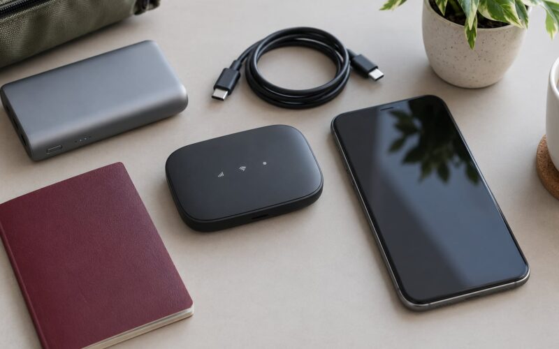
- A car charger plus a charged power bank in the glove box. Batteries drain fastest when the phone is cold and the GPS is running hard.
- A paper map or written route with the key turns spelled out, especially for border crossings, ferry ports and mountain passes.
- A compass if you are walking or boating far from a road, and the skill to check a bearing against it.
- A trip plan left with someone — where you are going, when you expect to arrive, and what to do if you are late.
Two optional items earn their keep on genuinely remote trips. A dedicated handheld GPS unit keeps working after your phone battery dies, and a satellite messenger sends a message or distress call from places no cell tower can reach. Neither is needed for a normal road trip; both are worth considering before a desert crossing or a multi-day backcountry route.
Step-by-Step: How to Navigate Without Cell Service
Work through these five steps in order, in the days before you leave rather than in the parking lot where you lose signal.
Set Up Offline Maps Before You Travel
Download on Wi-Fi, then open the downloaded area once before you go. If you cannot find a step, search the app’s own settings for offline or downloaded maps.
On an iPhone, Apple Maps is already installed and needs no account. Open Maps, tap your initials or profile picture in the top corner, choose Offline Maps, tap Add a Location, drag the map or the size slider to cover your whole route, then tap Download. Apple shows the file size before it starts, which is useful when your storage is tight.
Google Maps takes one more step on the same phone. Tap your profile picture, tap Offline maps, tap Download a map, and either draw your own area or pick named cities and highways from the list. Keep in mind that Google covers far more of the highway network than it does remote roads, and the downloaded road map is a plain road map — no topographic or satellite detail. Hikers planning to leave the pavement generally need a different app.
On Android, the path is nearly identical: open Google Maps, tap your profile picture in the top right, tap Offline maps, tap Select areas to download, choose or draw your area, tap Download, then tap Save. The difference is that Android users also have a setting worth turning on: Offline maps settings, then Auto-download, then Wi-Fi only, with a frequent update range for regions you drive through often.
How to navigate without cell service depends on which of these you set up, so finish all of them before the trip, not one. People who assume the wrong app is already downloaded are the ones who discover the problem halfway up a canyon.
Download Routes and Save Key Places
A downloaded map shows you where you are. It does not reliably find new places. Offline search in most apps only looks through names you saved beforehand, so save them while you still have a connection.
Save your hotel or rental, the airport or ferry terminal, the trailhead, the campground, the fuel stops you actually plan to use, the parking area at the trail, and the road number for any long remote stretch. Ten minutes of tapping now saves an hour of guessing in a lay-by at dusk.
For trails, download the GPX track file from the park or forest service site and open it in a mapping app that reads GPX. That file holds the whole route with waypoints, elevation profile and distance remaining, and it works with no signal at all. For driving, add the fuel stops as waypoints so the app routes you past them rather than leaving you to remember.
Plan the return trip at the same time. Save the route in reverse order, or keep a written list of the junctions you will hit coming back, because the same road looks completely different in the dark.
Test the Offline Route in Airplane Mode
This is the step almost everyone skips, and it catches nearly every problem. Do it at home, not at the border.
Turn on airplane mode. This switches off the cellular and Wi-Fi radios, and it does not switch off GPS — the satellite receiver is separate, and phones keep fixing your position with the radios off. That combination is also the cheapest battery trick available: no radios searching for a tower means noticeably longer screen time.
With airplane mode still on, open the map area you downloaded and start directions to a place you saved. Check four things:
- Your position dot appears and moves when you walk a few metres.
- The route draws and the turn list shows distances.
- Zooming in and out still loads detail instead of grey squares.
- Reopening the app from cold still finds the map without a network.
If the map greys out or spins, you downloaded the wrong area or the download never finished. Do it again. Ten minutes at home beats forty kilometres of guesswork.
Use GPS and Landmarks When the Signal Disappears
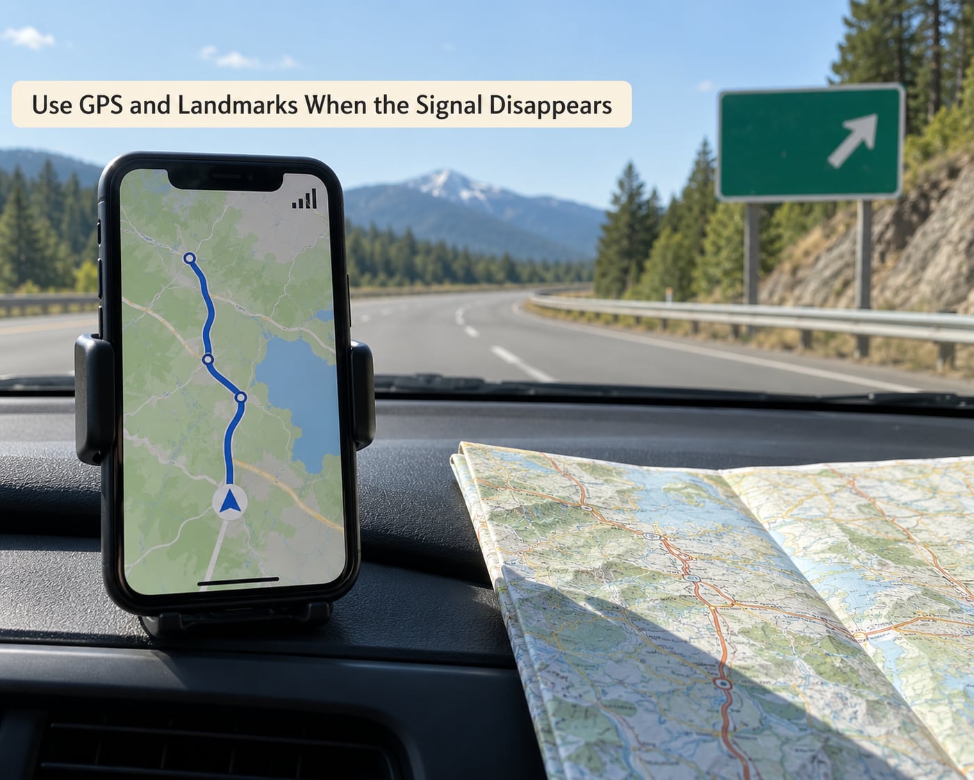
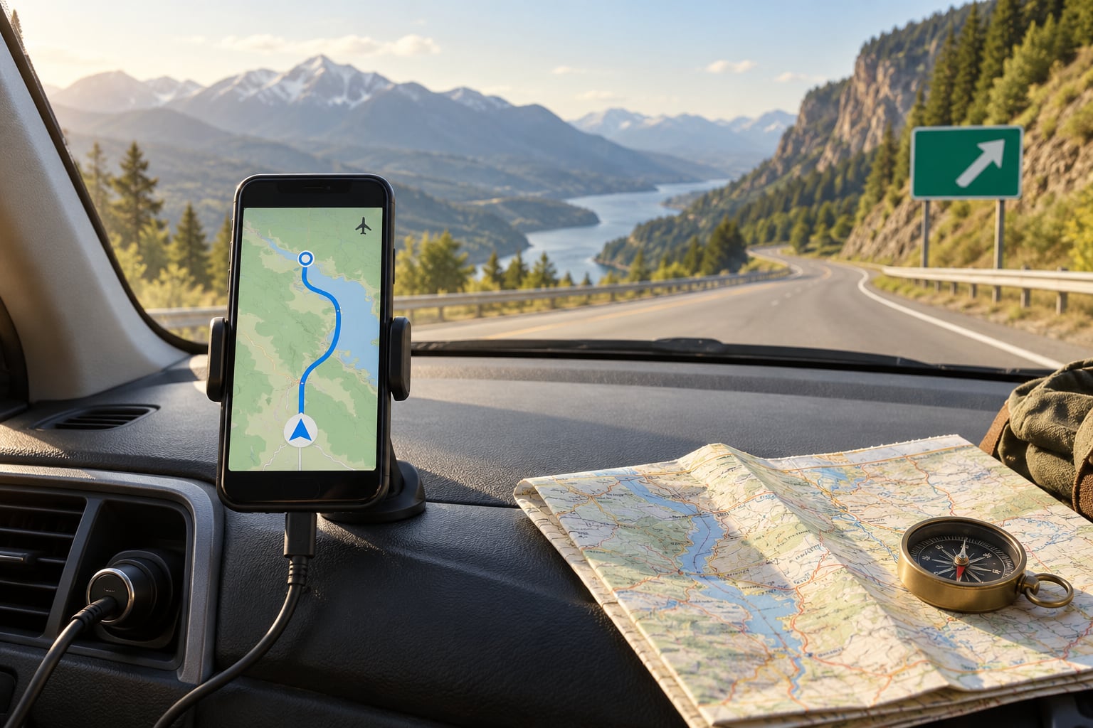
When the bars empty out, keep driving and let the app guide you. Follow the position dot, the road name at the top of the screen, the distance to each turn and the voice instructions. They keep working for the whole downloaded area.
Use the map as confirmation rather than as the only source. Match the road you are on to the name on the screen, check the next turn against the road signs, and note mileposts or junctions as you pass them. On a mountain highway, following a river or a ridge line and watching the distance counter tick down often works better than staring at the screen.
GPS has real limits you should know about. Steep canyon walls reflect the satellite signal and skew the position, dense forest canopy weakens it, and tunnels, underpasses and deep urban street canyons block it entirely. Expect a slow or wandering dot in those places rather than a lost one, and wait for clear sky before trusting a position reading.
Pull over safely before you fiddle with anything. Open the route summary to see your remaining distance and time, check the next turn instruction, and confirm the app still has the right starting point before you set off again.
If you do take a wrong turn, do not search for a new destination while parked in a lay-by with no signal. Backtrack to the last junction you noted, or continue on the current road until you pick up a named road again, then reroute. Offline rerouting often fails, but continuing along a known road and recalculating from a saved place usually works.
Carry a Paper and Power Backup
Phones fail in three ways: dead battery, broken screen, or an app that updates and loses your downloads. A paper map defeats all three, and it weighs nothing.
Carry a paper map at a scale that shows the route, not a whole country, and mark the junctions, ferries and fuel stops with a pen while you still have signal. Fold it the way that puts the route in view without unfolding. If you are walking open country, mark the bearing and distance of key waypoints, and note the time you expect to reach each one.
Check the battery percentage at every fuel or rest stop rather than at the end of the day. Cold mornings and hot afternoons both drain a battery faster, and a phone kept in a cold vehicle will lose charge while it sits. Turn on airplane mode once you are clear of the dead zone, drop the screen brightness, and stop leaving the navigation app in the foreground.
If you need to call for help with no signal, a call attempt will fail, so make it before coverage disappears or wait for a gap where one bar is enough. Stay with the vehicle if you can. It is far easier for rescuers to find than a person walking away from a road in the dark.
Common Mistakes
Leaving the map at home. Download it on Wi-Fi. Check the downloaded area list in the app the morning you leave, not the night before, in case an update cleared it.
Assuming GPS needs signal. It does not. Cell towers only help apps find new places, fetch traffic and route through cloud servers. Your position comes from satellites.
Searching for a new destination offline. Search works inside the downloaded area for saved places only. Anything else fails or hangs.
Trusting a stale map on a long trip. Downloaded areas are periodically refreshed automatically, and many expire after roughly two weeks. On any trip longer than that, refresh or redownload each region when you still have Wi-Fi.
Running out of battery. Power bank in the glove box, charger plugged in on long highway legs, and airplane mode on for everything except when you actually need calls.
Following a route through a closure. Offline apps do not receive closure notices. Check road conditions before you leave, and screenshot any notices you need.
Thinking airplane mode killed your GPS. It did not. Airplane mode turns off cellular and Wi-Fi; satellite positioning continues.
Downloaded but still showing no connection. Usually one of three things: the wrong area, a download still in progress, or the app needs one open after downloading. Reopen it, and if it still fails, delete and redownload.
Frequently Asked Questions
Can I use GPS without cell service?
Yes. A GPS receiver works out your position from signals sent by orbiting satellites, and cell towers play no part in it. Your phone keeps tracking you with zero bars, in airplane mode, or with no SIM card in it. What stops working is the map app’s network features: live traffic, searching for a new address, cloud rerouting and place photos. Download the map area first and those keep working too.
Do offline maps work without mobile data?
They do, as long as the map area is stored on the phone before you travel. Offline maps are files on the device, not a stream, so once they download they never need a connection again. You will not get traffic warnings, updated closures or new-destination search. Some apps refresh their downloads automatically over Wi-Fi and expire unused areas after roughly two weeks, so check the download list periodically on long trips.
Will my phone show my location if there is no signal?
Yes, in most open sky. The position dot keeps moving because it comes from satellites, not towers. Accuracy drops around steep canyon walls, under heavy tree canopy, in tunnels and between tall buildings, where the signal is reflected or blocked. Expect the dot to lag or drift in those places rather than disappear, and wait for open sky before trusting a reading enough to make a turn.
What is the best backup if offline navigation fails?
A paper map of the route with the junctions, ferry crossings and fuel stops marked, plus a written list of turns for the return leg. Add a compass if you are walking or boating away from roads, and a charged power bank so a flat battery is not what defeats the phone. Share your route and expected arrival time with someone at home before you enter the dead zone.
How should I handle a wrong turn when I cannot search for a new route?
Do not search for a new destination while stopped with no signal. Backtrack to the last junction or landmark you noted, or continue along the current road until you reach a named road the map recognises. Then choose a saved place as the destination and reroute from there. If offline rerouting refuses to work, keep following the main road and use the paper map to pick the next junction.
Do one thing first: download tomorrow’s route on Wi-Fi tonight, then test it in airplane mode. Everything after that is comfort, not necessity. If you want to go deeper on the gear side, our guides to travel tech and road trip planning cover the rest of the kit.